Finding Doha isn't just about spotting a dot in the Middle East. Honestly, if you’re looking at a standard world map, it’s easy to miss the entire country of Qatar, let alone its capital. It sits on a tiny thumb of land—a peninsula—that pokes out from the side of Saudi Arabia into the Persian Gulf.
Basically, if you find the massive Arabian Peninsula, look at the eastern side. There’s a little rectangular nub sticking north. That’s Qatar. Doha is the crown jewel sitting right on the eastern coastline of that nub.
Pinpointing the Coordinates
To get technical for a second, the coordinates for Doha are roughly 25.2854° N, 51.5310° E.
But nobody actually navigates by latitude and longitude unless they’re on a ship. For the rest of us, it’s better to think of it in relation to its neighbors. Doha is about 160 kilometers (100 miles) across the water from Manama, Bahrain. If you were to drive south to Riyadh, Saudi Arabia, you’re looking at about a 400-kilometer trek through the desert.
It’s a coastal city through and through. The city was built around a shallow bay, which is why it became such a massive hub for pearling back in the day before the oil and gas money changed everything.
Why the Location Actually Matters
You've probably noticed that Doha has become a massive transit hub. This isn't an accident of history; it’s a result of its geography. Because it sits halfway between Europe and East Asia, it’s the perfect "stopover" point.
Most people see Doha for the first time through the windows of Hamad International Airport. The airport itself is built on reclaimed land, literally pushing the map further out into the sea.
The Layout of the City
The city isn't just a random sprawl. It follows a very specific radial pattern.
- The Corniche: This is the horseshoe-shaped waterfront promenade that defines the city's face.
- West Bay: This is the "Manhattan" of Doha, filled with those futuristic skyscrapers you see on Instagram.
- The Pearl-Qatar: A massive man-made island sitting just north of the city center.
- The Rings: The city is organized by "Ring Roads" (A-Ring, B-Ring, etc.) that arc around the old port area.
It’s a desert climate, obviously. The city is flat. Very flat. The highest point in the whole country is only 103 meters above sea level, which is basically a small hill anywhere else. This means the skyline of Doha is visible from miles away because there are no mountains to hide it.
The Water and the Sand
To the east, you have the turquoise waters of the Persian Gulf. To the west and south, it’s nothing but sand and limestone plateau.
One of the coolest geographical features near Doha is Khor Al Adaid, or the "Inland Sea," located to the south. It’s one of the few places on Earth where the ocean actually moves deep into the heart of the desert dunes. If you’re looking at a map of the region, look at the very bottom right corner of the Qatar peninsula to find it.
Common Misconceptions About Doha’s Location
A lot of people think Qatar is an island. It’s not. It shares an 87-kilometer (54-mile) land border with Saudi Arabia.
Others assume it’s right next to Dubai. While they are in the same general region, they don't share a border. You actually have to pass through a stretch of Saudi territory or fly over the Gulf to get from Doha to the UAE.
Actionable Insights for Your Visit
If you are planning to use a map to navigate the city, keep a few things in mind.
- Don't rely on walking: Even if two points look "close" on the map, the heat and the way the ring roads are designed make walking nearly impossible for most of the year.
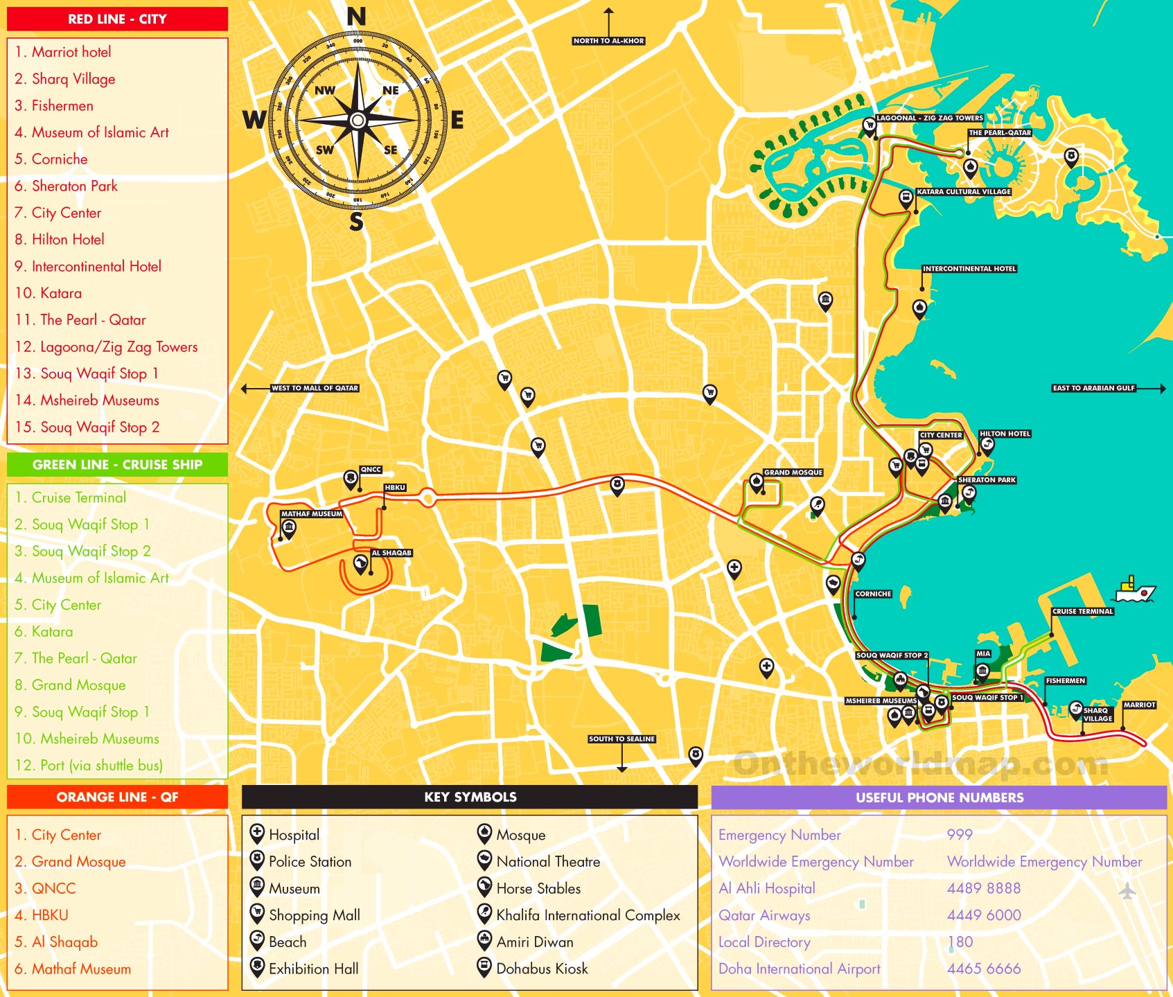
- Use the Metro: The Doha Metro is one of the most advanced in the world and connects the airport, the historic Souq Waqif, and the ultra-modern Lusail area perfectly.
- Check the "Green" zones: Maps show parks like Aspire Park or Al Bidda Park—these are genuine oases. If you need a break from the glass and steel, these are your best bets.
Doha is a city that is constantly redrawing its own map. Between man-made islands and new cities like Lusail being built from scratch to the north, the version of Doha you see on a map today will likely look different in five years.
To get the most out of the city's layout, start your journey at the Museum of Islamic Art. It sits on its own reclaimed peninsula at the southern end of the Corniche and gives you the best panoramic view of the entire skyline, helping you orient yourself before you dive into the labyrinth of the city.